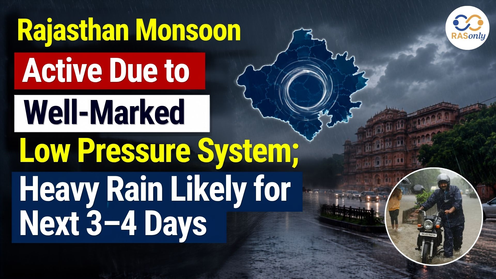
The southwest monsoon has become active across Rajasthan due to the influence of a well-marked low pressure area over the Bay of Bengal. According to the India Meteorological Department (IMD), Meteorological Centre Jaipur, several parts of the state are expected to receive heavy to very heavy rainfall over the next 3–4 days, particularly in South-Eastern and Eastern Rajasthan, including the Udaipur and Kota divisions.
On Wednesday morning, light rainfall was reported in Suratgarh (Sri Ganganagar district) and several nearby areas. Cloudy skies and intermittent showers brought relief from the prevailing heat and humidity. The rainfall is also expected to benefit Kharif crops, as timely monsoon showers support sowing and early crop growth.
IMD Issues Heavy Rain Alert
The IMD has recommended people to be alert, particularly in water-logged and localized flood prone areas. Individuals have been advised to refrain from unnecessary movements around low-lying areas during the heavy rains and take heed to the official weather bulletin issued by the local authorities.
The active monsoon conditions are mainly associated with the well-marked low pressure system over the Bay of Bengal, which is supplying abundant moisture to northwestern India. This has led to an increase in precipitation over several districts of Rajasthan.
Rainfall Activity May Ease After 10 July
According to the Meteorological Centre Jaipur, the low-pressure system is expected to move west-northwestward and gradually weaken over the next 24 hours. However, its influence will continue to produce light to moderate rainfall across most parts of Rajasthan, with isolated spells of heavy rainfall over the next few days.
The IMD has indicated that heavy rainfall activity is likely to decrease from 10 July onward, although seasonal monsoon showers are expected to continue in many districts.
Monsoon Advances Further Across Rajasthan
The southwest monsoon has advanced further into South-West Rajasthan. At present, the northern limit of the monsoon passes through Barmer, Jodhpur, and Rajgarh. The IMD expects the monsoon to cover the remaining parts of the state, including the Bikaner division, within the next two days. Consequently, Jodhpur and Bikaner divisions are also likely to receive good rainfall during the coming 2–3 days.
Significant Rainfall Recorded
Recent rainfall observations indicate widespread precipitation across the state:
| Kana (Pali) | 120 mm |
|
|
|
|
|
|
|
|
|
|
|
|
|
|
|
|
|
|
These figures highlight the increasing intensity of monsoon activity across Rajasthan.
Key Facts for Exam Preparation
- A well-marked low pressure area over the Bay of Bengal has activated the monsoon in Rajasthan.
- Heavy to very heavy rainfall is expected over the next 3–4 days.
- Udaipur and Kota divisions are among the most likely regions to receive heavy rainfall.
- Heavy rainfall activity may reduce from 10 July, though normal monsoon rains are expected to continue.
- The current northern limit of the monsoon passes through Barmer, Jodhpur, and Rajgarh.
- Kana (Pali) recorded the highest rainfall (120 mm) among the reported locations.
MCQs
Q1. The current spell of heavy rainfall in Rajasthan is mainly associated with:
A. Western Disturbance
B. Cyclonic Storm over the Arabian Sea
C. Well-marked Low Pressure Area over the Bay of Bengal
D. El Niño
Answer: C. Well-marked Low Pressure Area over the Bay of Bengal
Q2. According to the IMD, which divisions are expected to receive heavy to very heavy rainfall over the next few days?
A. Bikaner and Jaisalmer
B. Udaipur and Kota
C. Jaipur and Ajmer
D. Barmer and Jodhpur
Answer: B. Udaipur and Kota
Q3. According to the IMD forecast, heavy rainfall activity is expected to reduce from:
A. 8 July
B. 9 July
C. 10 July
D. 12 July
Answer: C. 10 July
Q4. Which location recorded the highest rainfall among the reported observations?
A. Desuri (Pali)
B. Kathumar (Alwar)
C. Kana (Pali)
D. Pratapgarh
Answer: C. Kana (Pali)
राजस्थान में वेलमार्क लो-प्रेशर सिस्टम के प्रभाव से मानसून सक्रिय, अगले 3–4 दिनों तक भारी बारिश की संभावना
बंगाल की खाड़ी में बने वेलमार्क लो-प्रेशर एरिया (Well-Marked Low Pressure Area) के प्रभाव से राजस्थान में दक्षिण-पश्चिम मानसून पूरी तरह सक्रिय हो गया है। भारत मौसम विज्ञान विभाग (IMD), मौसम विज्ञान केंद्र जयपुर के अनुसार, अगले 3–4 दिनों तक राज्य के कई हिस्सों में भारी से अतिभारी वर्षा होने की संभावना है। विशेष रूप से दक्षिण-पूर्वी एवं पूर्वी राजस्थान, जिसमें उदयपुर और कोटा संभाग शामिल हैं, वहां भारी वर्षा का पूर्वानुमान जारी किया गया है।
बुधवार सुबह श्रीगंगानगर जिले के सूरतगढ़ सहित कई क्षेत्रों में हल्की वर्षा दर्ज की गई। बादल छाए रहने और रुक-रुककर हुई बारिश से लोगों को गर्मी और उमस से राहत मिली। समय पर हुई यह वर्षा खरीफ फसलों के लिए भी लाभदायक मानी जा रही है, क्योंकि इससे बुवाई और फसलों की प्रारंभिक वृद्धि को सहायता मिलती है।
IMD ने जारी किया भारी वर्षा का अलर्ट
भारत मौसम विज्ञान विभाग (IMD) ने नागरिकों से विशेष सतर्कता बरतने की अपील की है। जलभराव वाले क्षेत्रों, निचले इलाकों तथा स्थानीय बाढ़ की आशंका वाले स्थानों पर अनावश्यक आवाजाही से बचने की सलाह दी गई है। साथ ही लोगों को स्थानीय प्रशासन एवं मौसम विभाग द्वारा जारी आधिकारिक मौसम बुलेटिन का नियमित रूप से पालन करने के लिए कहा गया है।
राजस्थान में सक्रिय मानसून का मुख्य कारण बंगाल की खाड़ी में बना वेलमार्क लो-प्रेशर सिस्टम है, जो उत्तर-पश्चिम भारत की ओर पर्याप्त नमी पहुंचा रहा है। इसी कारण प्रदेश के कई जिलों में वर्षा गतिविधियों में उल्लेखनीय वृद्धि हुई है।
10 जुलाई के बाद बारिश की तीव्रता में आ सकती है कमी
मौसम विज्ञान केंद्र, जयपुर के अनुसार यह कम दबाव का क्षेत्र अगले 24 घंटों में पश्चिम-उत्तर-पश्चिम दिशा की ओर बढ़ते हुए धीरे-धीरे कमजोर पड़ सकता है। हालांकि इसके प्रभाव से राज्य के अधिकांश हिस्सों में हल्की से मध्यम वर्षा तथा कुछ स्थानों पर भारी वर्षा का दौर अगले कुछ दिनों तक जारी रहने की संभावना है।
IMD के अनुसार 10 जुलाई से भारी वर्षा की गतिविधियों में कमी आने की संभावना है, लेकिन कई जिलों में सामान्य मानसूनी वर्षा जारी रह सकती है।
राजस्थान में मानसून की आगे बढ़त
दक्षिण-पश्चिम मानसून ने राजस्थान के दक्षिण-पश्चिमी भाग में और आगे बढ़त दर्ज की है। वर्तमान में मानसून की उत्तरी सीमा बाड़मेर, जोधपुर और राजगढ़ से होकर गुजर रही है। मौसम विभाग का अनुमान है कि अगले दो दिनों में मानसून बीकानेर संभाग सहित राज्य के शेष क्षेत्रों में भी पूरी तरह सक्रिय हो जाएगा। इसके परिणामस्वरूप जोधपुर और बीकानेर संभाग में भी अगले 2–3 दिनों के दौरान अच्छी वर्षा होने की संभावना है।
प्रमुख वर्षा आंकड़े
हाल ही में विभिन्न जिलों में दर्ज वर्षा के प्रमुख आंकड़े निम्नलिखित हैं—
| Kana (Pali) | 120 mm |
|
|
|
|
|
|
|
|
|
|
|
|
|
|
|
|
|
|
ये आंकड़े दर्शाते हैं कि राजस्थान में मानसून की गतिविधियां लगातार मजबूत बनी हुई हैं।
परीक्षा हेतु महत्वपूर्ण तथ्य
- बंगाल की खाड़ी में बने वेलमार्क लो-प्रेशर एरिया के कारण राजस्थान में मानसून सक्रिय हुआ है।
- अगले 3–4 दिनों तक राज्य के कई हिस्सों में भारी से अतिभारी वर्षा की संभावना है।
- उदयपुर और कोटा संभाग में भारी वर्षा की संभावना सबसे अधिक है।
- 10 जुलाई से भारी वर्षा की गतिविधियों में कमी आने के संकेत हैं।
- वर्तमान में मानसून की उत्तरी सीमा बाड़मेर–जोधपुर–राजगढ़ से होकर गुजर रही है।
- पाली जिले के काना में सर्वाधिक 120 मिमी वर्षा दर्ज की गई।
अभ्यास प्रश्न (MCQs)
प्रश्न 1. राजस्थान में वर्तमान भारी वर्षा का मुख्य कारण क्या है?
A. पश्चिमी विक्षोभ
B. अरब सागर में चक्रवाती तूफान
C. बंगाल की खाड़ी में बना वेलमार्क लो-प्रेशर एरिया
D. एल-नीनो
उत्तर: C. बंगाल की खाड़ी में बना वेलमार्क लो-प्रेशर एरिया
प्रश्न 2. IMD के अनुसार अगले कुछ दिनों में किन संभागों में भारी से अतिभारी वर्षा की संभावना है?
A. बीकानेर और जैसलमेर
B. उदयपुर और कोटा
C. जयपुर और अजमेर
D. बाड़मेर और जोधपुर
उत्तर: B. उदयपुर और कोटा
प्रश्न 3. IMD के अनुसार भारी वर्षा की गतिविधियों में कमी आने की संभावना कब से है?
A. 8 जुलाई
B. 9 जुलाई
C. 10 जुलाई
D. 12 जुलाई
उत्तर: C. 10 जुलाई
प्रश्न 4. हालिया वर्षा आंकड़ों के अनुसार सर्वाधिक वर्षा किस स्थान पर दर्ज की गई?
A. देसूरी (पाली)
B. कठूमर (अलवर)
C. काना (पाली)
D. प्रतापगढ़
उत्तर: C. काना (पाली)