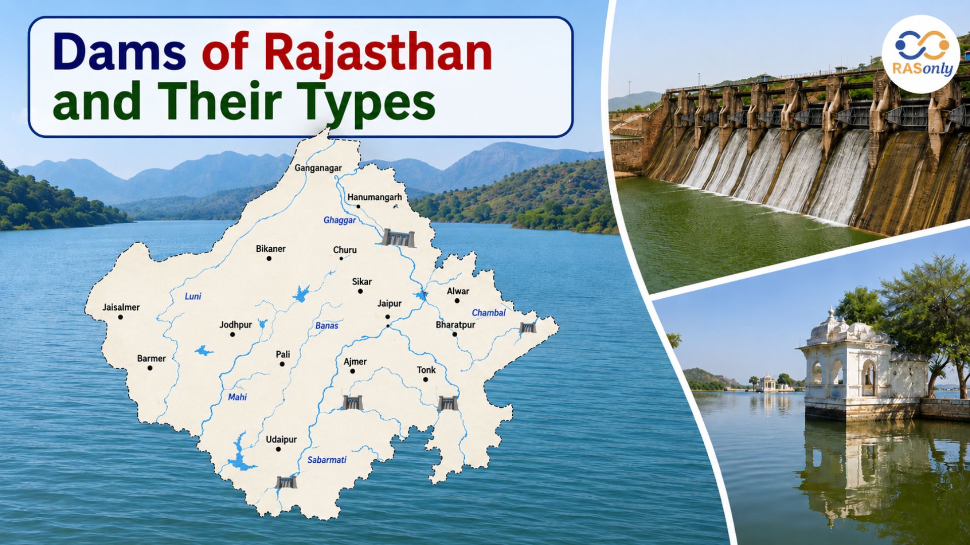
Dams of Rajasthan and Their Types: Complete RAS Exam Notes
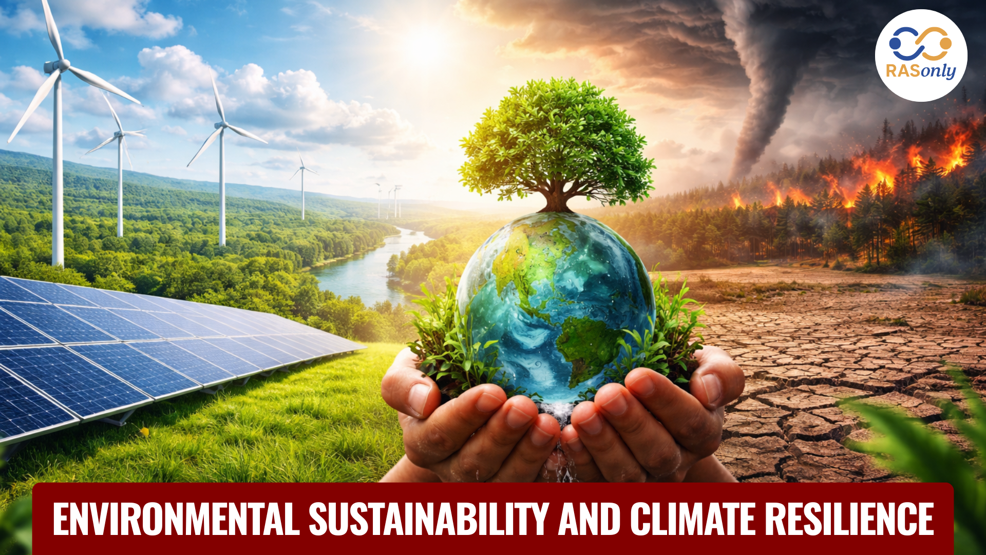
Rajasthan Environmental & Disaster Resilience Roadmap

Get in Touch with RASonly!

Rajasthan’s long-term environmental roadmap focuses on forest expansion, biodiversity protection, pollution control and climate adaptation. With AI-based monitoring, sustainable industrial practices and strengthened disaster management systems, the state aims to enhance ecological resilience while balancing economic growth, community welfare and environmental sustainability.


Rajasthan's forests span diverse ecosystems, from the thorn forests of the Aravallis to the wetlands of Bharatpur, sustaining rich biodiversity. Ranthambore and Sariska Tiger Reserves highlight conservation success. With 9.6% forest cover, Rajasthan targets 20% vegetation cover under its Forest Policy 2023. Rapid urbanisation, climate change and industrialisation have escalated environmental challenges and disaster risks, prompting the State Action Plan for Climate Change and disaster preparedness initiatives.
Rajasthan has 32,869 sq. km of Recorded Forest Area (RFA)
State targets 20% vegetation cover in 20 years (Forest Policy 2023)
Mission 'Hariyalo Rajasthan', inspired by 'Ek Ped Maa Ke Naam' campaign, aims to plant 50 crore trees in five years.
Rajasthan has 25 regional offices and 13 pollution control labs
Environmental Audit Scheme makes Rajasthan 2$^{nd}$ state after Gujarat
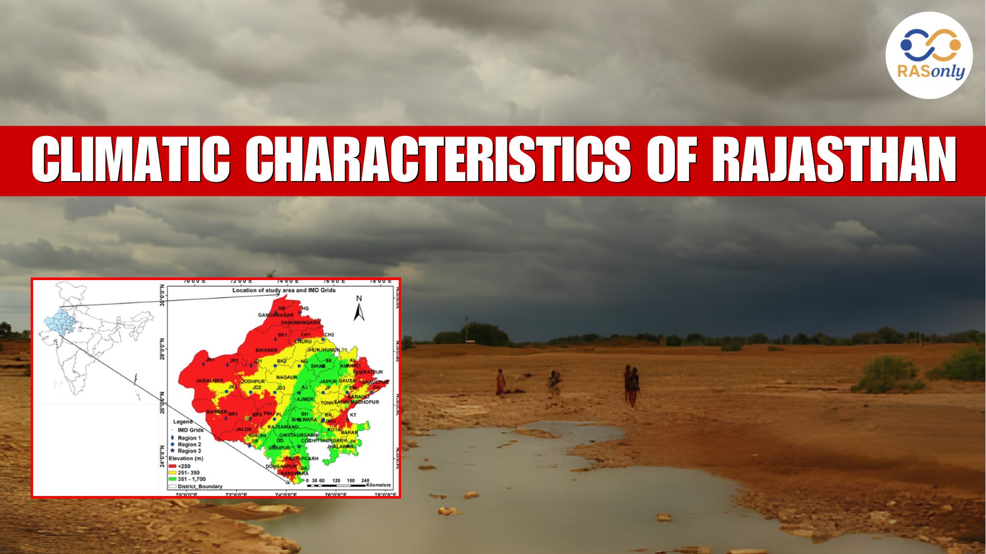
Rajasthan has 1.16% of India's total surface water resources
Average Monsoon Rainfall 531 mm vs national average of 1200 mm
Summer temperatures peak at 49°C, worsening drought and water scarcity
4700 Aapda Mitras trained in 13 districts for disaster response
Implementation of the Sendai Framework strengthens disaster risk reduction
VISION 2047
By 2047, Rajasthan will be a leader in environmental resilience and sustainable development, balancing economic growth with ecological preservation. Through forest conservation, scientific research, community engagement, sustainable land use and promotion of a circular economy, the state will foster water conservation, renewable energy adoption and biodiversity protection.
A robust disaster management framework will ensure preparedness, safety and sustainability, securing a thriving ecosystem and resilient future for generations to come.
Thrust Areas
- AIR QUALITY ENHANCEMENT
- BIODIVERSITY CONSERVATION
- COMMUNITY CENTRIC CONSUMPTION APPROACHES
- CLIMATE CHANGE MITIGATION
- TECHNOLOGY INNOVATIONS
- WATER RESOURCE MANAGEMENT
- INTERNATIONAL COLLABORATIVE FRAMEWORK
- SUSTAINABLE DEVELOPMENT PARADIGM
- ENVIRONMENTAL EDUCATION INITIATIVES
- PERSISTING ENVIRONMENTAL CHALLENGES
Forest & Biodiversity Conservation
Biodiversity Protection & Wildlife Conservation
Conservation of endangered species like the Royal Bengal Tiger and preservation of natural habitats through eco-sensitive forest management and protected area expansion.
Policy & Legislative Reforms
Strengthening forest protection laws, indigenous community rights and wildlife conservation policies to align with global sustainability goals
Sustainable Forest Management
Implementing scientific forest management practices to balance ecological conservation with economic development, ensuring long-term sustainability and community benefits.
Community-Based Conservation
Engaging local communities in forest protection, promoting sustainable livelihoods and implementing joint forest management initiatives to reduce human-wildlife conflicts.
Technological Integration in Forestry
GIS mapping, remote sensing and drone surveillance are being used to monitor deforestation, track wildlife movement and enhance forest protection efforts.
Eco-Tourism Expansion
Rajasthan promotes eco-tourism in reserves like Ranthambore & Sariska, generating revenue for conservation, creating local employment and fostering wildlife awareness
Afforestation & Reforestation Drives
Large-scale tree planting programs aim to increase forest cover from 9.64% to 20% by 2047, reversing deforestation trends and improving carbon sequestration. Launch of the Greening of Aravalli Project by GoR for afforestation and reforestation in the Aravalli region.
Public Awareness & Education
Conducting forest conservation campaigns, workshops and school programs to increase public participation in tree planting and biodiversity conservation efforts.
Climate-Resilient Afforestation
Indigenous tree species are being planted to combat global warming, ensuring drought resilience and restoring degraded ecosystems across Rajasthan's 32,869 sq. km of forest area. State government has initiated One District, One Species Program
Wildlife Corridor Development
Establishing wildlife corridors between protected areas to enhance species migration, genetic diversity and reduce habitat fragmentation.
Climate Action & Environmental Protection
Addressing Water Scarcity
Promoting rainwater harvesting, Zero Liquid Discharge (ZLD), recharge pits and traditional conservation to enhance water availability, especially in the MSME sector and public infrastructure.
Improving Air Quality
Expanding public transport, green fuels, Electric Vehicles (EVs) and mass rapid transit systems to reduce emissions and improve air quality for Rajasthan's growing urban population.
Circular Economy
Waste Minimisation & Resource Recovery through reduce, re-use, re-cycle; enhancing e-waste recycling, single-use plastic reduction, bio-medical waste management and circular economy practices for batteries, tyres and hazardous waste disposal.
Biodiversity Conservation & Habitat Protection
Restoring natural ecosystems, enforcing conservation laws and creating wildlife corridors to protect Rajasthan's unique biodiversity, including Sariska & Ranthambore reserves.
Climate Change Adaptation & Resilience
Promoting drought-resistant crops, flood-resilient infrastructure and sustainable urban planning to mitigate climate impacts and enhance Rajasthan's environmental resilience.
Stronger Environmental Regulations & Enforcement
Enforcing industrial pollution control, environmental impact assessments and emission standards to ensure sustainable growth and ecological protection.
Advanced Monitoring & Compliance
Expanding air, water and soil quality monitoring networks using IoT & AI to ensure strict environmental compliance and pollution reduction.
Public Health & Pollution Reduction
Reducing airborne and waterborne pollutants to enhance public health, reducing cases of respiratory diseases and water contamination illnesses.
Environmental Awareness & Public Participation
Engaging local communities in afforestation, waste segregation, groundwater recharge and energy conservation through education programs and participatory governance.
Sustainable Development Integration
Balancing economic growth with ecological preservation by incorporating green infrastructure, renewable energy adoption and sustainable industrial practices.
Disaster Preparedness & Relief
Advance Warning System
Sachet App is being used for early warning regarding excessive/intense rainfall, thunderstorm and other natural disaster and Damini App is being used for information about lightning disseminated to the general public well in advance.
Emergency Response Support System (ERSS)
On Golden Hour principle, Dial 112 service is being provided for immediate assistance to the affected people in times of disaster.
Live Monitoring System
More than 7,000 CCTV cameras are operational in the State for live monitoring of entire incidents of disaster.
Drought Assessment System
Ground Truthing App is being used for drought assessment scientifically.
Forest
| INDICATORS | TARGET (2030) | TARGET (2035) | TARGET (2040) | TARGET (2047) |
|---|---|---|---|---|
| Advanced Mapping & Monitoring | Complete cadastral-level land mapping using remote sensing. Create a common GIS database for state departments | Complete cadastral mapping with remote sensing and modern technology | Regular updates with the best available technology | Regular updates with AI-based tools for dynamic land-use and forest health monitoring |
| Forest Stack & Decision Support | Develop digital forest health monitoring and AI decision-support systems. Integrate datasets across departments | Advance digital forest stack with AI and expert collaboration | Data sharing with state and central government departments and advanced AI-based decision-making | Fully AI-based forest management with knowledge plug-ins and cross-departmental data sharing |
| Carbon Flux Monitoring | Initiate real-time carbon sequestration monitoring and integrate with policy planning | Mature real-time carbon sequestration monitoring | Connection to a global network for data exchange | Connect to global carbon monitoring networks and optimise forest management based on real-time data |
| Community Benefits & Bioprospecting | Build digital biodiversity databases, explore blockchain for data security and enable community benefits | Ongoing bioprospecting and benefit-sharing with BMCs/PRIs | Continued bioprospecting and commercialisation benefits for biodiversity management committees/PRIs | Sustain commercialisation benefits from biodiversity for local communities/PRIs |
| Green Mechanism & Operations | 50% use of recyclable materials, electric/alternative vehicles and zero-paper operations | 60% use of recyclable materials, use of electric/alternative vehicles | Adopt 75% paperless offices and transition 75% of forestry operations to electric or alternative fuel vehicles | Achieve 100% sustainable operations in forest management |
| Wildlife Conservation | AI-based surveillance and anti-poaching in 70% of protected areas, geo-fencing vulnerable boundaries, develop species recovery plans | AI-based surveillance and creation of Anti Forest Offence Task Force | AI-based surveillance and geo-fencing to cover 90% of protected areas, along with vulnerability assessments | 100% AI surveillance coverage, robust wildlife corridors and endangered species recovery programmes implemented |
Forest
| INDICATORS | TARGET (2030) | TARGET (2035) | TARGET (2040) | TARGET (2047) |
|---|---|---|---|---|
| Capacity Building | Expand training, including geo-informatics and wildlife rescue for frontline staff | Create capacities in data analytics, GIS, blockchain | Build advanced training facilities for all forest service ranks | Build advanced training centers and ensure all ranks are skilled in modern forest management tools |
| Certification, REDD++, OECMS | Certify processes for sustainability, develop Other Effective Area-Based Conservation Measures (OECMS) | Position OECMS as carbon-neutral development projects and certify all forestry processes | Direct benefits to local communities and area managers | Direct community benefits from REDD++, NTFP and tourism |
| Avifauna Management | Establish long-term bird observatory, seasonal bird monitoring and promote citizen participation | Partner with global agencies for migratory species monitoring and conservation breeding of key species | Sustain bird tagging and monitoring programmes | Continuous bird population management with advanced analytics and sustained community engagement |
| Conservation of Endangered Flora | Start seed collection and storage of endangered flora species | Use tissue culture and biotechnology for conserving genetic material of key species | 10–15 reintroduction projects for native/endangered species; strengthen seed banks and in-situ propagation efforts | Implement large-scale reintroduction programs for historically significant plant species |
| INDICATORS | CURRENT STATUS | TARGET (2030) | TARGET (2035) | TARGET (2040) | TARGET (2047) |
|---|---|---|---|---|---|
| Increasing Coverage of Industries under Consent Mechanism | Consent Mechanism coverage for mining/industrial units | Increase coverage of industries under the consent mechanism up to 85% | Increase coverage of industries under the consent mechanism up to 90% | Complete coverage of industries under consent mechanism to be achieved | Complete coverage of industries under consent mechanism to be achieved |
| Increasing Numbers of Ambient Air Quality Monitoring Stations (AAQMS) | 85 AAQMS available (39 manual and 46 continuous) | Expand continuous AAQMS to all district HQs and boost coverage in urban and industrial areas | 100 Continuous AAQMS stations to be installed across Rajasthan | 150 Continuous AAQMS stations to be installed across Rajasthan | 200 Continuous AAQMS stations to be installed across Rajasthan |
Environment
| INDICATORS | CURRENT STATUS | TARGET (2030) | TARGET (2035) | TARGET (2040) | TARGET (2047) |
|---|---|---|---|---|---|
| Expanding Coverage of Online Continuous Emission Monitoring System (OCEMS) | 600 industries/common facilities are covered | Expand continuous OCEMS installation up to 1000 across the state | Expand continuous OCEMS installation up to 2000 across the state | Expand installation of continuous OCEMS to 8000 across the state | Coverage of OCEMS station installation up to 10000 |
| Reduction of Processing Time of Consent Application | Processing time: 120 days | Reduce processing time to 90 days through policy interventions | Processing time to be reduced to 45 days | Processing time to be reduced to 45 days | Processing time to be reduced to 30 days |
| Increasing Facility for Early Warning Systems (EWS) | EWS for Air Quality Index available with Decision Support System | EWS for AQI in 5 major cities along with Decision Support System | Implement EWS for AQI and DSS in 8 major cities | Implement EWS for AQI and DSS in 10 major cities | EWS for AQI and DSS implemented in 10 major cities |
| Expanding Coverage of Extended Producer Responsibility (EPR) | EPR applied to 5 special categories of waste | Expand EPR coverage to 10 sectors for circular economy promotion | Expand EPR coverage to 12 sectors for circular economy promotion | Expand EPR coverage to 15 sectors for circular economy promotion | Expand EPR coverage to 20 sectors |
| Development of Market-Based Emission Trading System (ETS) | Feasibility being assessed for ETS in Jaipur and Bhiwadi | Develop market-based ETS in major industrial hubs including 5 non-attainment cities | Develop market-based ETS in major industrial hubs including NCR and 5 non-attainment cities | Develop market-based ETS in key industrial hubs including NCR and 5 non-attainment cities | Develop market-based ETS for entire state |
Disaster Management & Relief
| INDICATORS | TARGET (2030) | TARGET (2035) | TARGET (2040) | TARGET (2047) |
|---|---|---|---|---|
| Drought & Lightning Mitigation | Drought Mitigation Pilot in 5 districts, 2,000 lightning arresters installed | Drought mitigation rolled out in 25% of vulnerable districts; 5,000+ lightning arresters will be deployed | Drought mitigation rolled out in 50% of vulnerable districts; 10,000+ lightning arresters will be deployed | Drought mitigation in all districts; lightning-prone areas fully protected |
| Disaster-Related Deaths | Reduce disaster mortality to 10 per lakh | Reduce to ≤8 deaths per lakh through strengthened forecasting & response systems | Reduce to <5 deaths per lakh through strengthened forecasting & response systems | Achieve disaster-resilient citizenry through education, community-based programs and policy |
| Firefighting & Equipment | Increase firefighting vehicles to 400 rapid response units at all levels | 600 mobile disaster response vehicles with coverage extending to subdivision and block level | 800+ mobile disaster response vehicles with coverage extending to sub-division and block level | Fully equipped mobile disaster response units at every level, including villages |
| Capacity Building & Awareness | Institutionalising and strengthening disaster professionals at all levels, establish partnerships, expand volunteer programs | Mandatory disaster education in schools; 0.50 Lakh trained volunteers; 24x7 training & simulation centres | Mandatory disaster education in schools; 1 lakh trained volunteers; 24x7 training & simulation centres | Advanced training for all disaster professionals; integrated school/college curriculum on disaster resilience and annual drills |
| Technology & Infrastructure | Establish GIS Lab, specialised disaster cells, increase drones to 100+ and develop AI-based warning systems | Fully functional GIS & Remote Sensing Labs in 50% of divisions; 250 drones deployed; pilot AI alert systems | Fully functional GIS & Remote Sensing Labs in all divisions; 500 drones deployed; pilot AI alert systems | Deploy AI-powered systems, block-level drones and fully operational Remote Sensing & GIS Lab for disaster management |
Mid-Term Action Plan
Advanced Land Use Mapping
Implement remote sensing tools for precise land mapping, creating a common database for urban, rural and conservation planning.
Forest Stack Development
Establish a digital forest health monitoring system, integrating AI-based decision-making and real-time data exchange across departments.
Carbon Flux Monitoring
Deploy real-time monitoring systems to measure $CO_2$ sequestration, aiding policy planning for climate resilience and sustainability.
Empowering Forest Fringe Communities
Develop digital biodiversity databases using blockchain technology, ensuring benefits from bioprospecting and commercialisation for local governance bodies.
Eco-Friendly Forestry Operations
Achieve 50% paperless offices, replace single-use plastics and transition 50% of forestry vehicles to electric or alternative fuels.
AI-Based Wildlife Protection
Implement AI-driven anti-poaching systems in 70% of protected areas, conduct geo-fencing and use blockchain for database management.
Forest Certification & REDD++ Compliance
Certify forestry products and tourism experiences as environmentally sustainable, aligning with global best practices in conservation.
Avifauna Conservation
Establish a bird observatory, conduct seasonal wild bird surveys and promote citizen-led monitoring programs for bird conservation.
Preservation of Endangered Flora
Identify, collect and store seeds of endangered plant species for future reintroduction and ecological restoration.
Mining & Industry Consent Mechanism
Increase coverage of mining and industrial activities under environmental consent to 85%.
Air Quality Monitoring Expansion
Install continuous air quality monitoring stations at all district headquarters and key industrial zones for pollution control.
Emission & Effluent Monitoring
Expand Online Continuous Emission Monitoring Stations (OCEMS) to 1,000 installations, ensuring real-time tracking of pollution levels.
Faster Environmental Clearances
Reduce consent application processing time to 90 days through streamlined policies and regulatory interventions.
Early Warning Systems (EWS) for Air Quality
Deploy air pollution early warning systems in five major cities, integrating them with a Decision Support System.
Market-Based Emission Trading
Implement an Emission Trading System (ETS) in five major industrial cities to regulate pollution through market-based incentives.
Drought Mitigation Strategy
Pilot drought mitigation plans across five districts, implementing water conservation, alternative cropping and community-based interventions.
Disaster Resilience Infrastructure
Install 2,000+ lightning arresters, reduce disaster-related deaths to 10 per lakh and deploy 400 firefighting vehicles across Rajasthan.
State-Level Disaster Management Strengthening
Establish Rajasthan State Disaster Management Training Institute (RSDMTI) and form strategic partnerships with global disaster response organisations.
District-Level Disaster Preparedness
Train local disaster response teams, enhance early warning systems and increase district-level professionals for improved community resilience.
Technology-Driven Disaster Response
Deploy 100+ drones, develop GIS-based disaster mapping and create specialised cells for cyber, child-centric and man-made disasters.
Long-Term Action Plan
Advanced Remote Sensing for Land Use
Implement regular updates with cutting-edge technology for precise mapping and planning of all land parcels statewide.
Forest Stack & AI-Based Decision-Making
Establish a dynamic data-sharing platform integrating AI for real-time forest health monitoring and policy planning.
Global Carbon Flux Monitoring
Connect Rajasthan's carbon sequestration data to international networks for informed climate policies and carbon trading benefits.
Forest Fringe Community Development
Expand bioprospecting and biodiversity commercialisation, ensuring financial benefits for local communities and governance bodies.
Zero-Paper Forestry Operations
Achieve 100% transition to paperless offices and fully electric/alternative fuel vehicle fleets for environmental sustainability.
Wildlife Conservation & AI-Based Protection
Implement AI surveillance, complete geo-fencing in all Protected Areas (PAs) and establish viable wildlife corridors.
Human Resource & Capacity Building
Train all forest service officers in geo-informatics, establish advanced training centers and implement endangered species recovery programs.
Certified Sustainable Forest Practices
Ensure all forest products and tourism experiences meet International REDD++ and OECMS sustainability standards.
Avifauna & Bird Conservation
Develop a long-term bird observatory, implement mandatory bird tagging and integrate citizen participation in wild bird monitoring.
Reintroduction of Endangered Flora
Launch specialised conservation programs to restore and protect historically significant plant species across Rajasthan.
Complete Industrial Consent Mechanism
Achieve 100% compliance in mining and industry environmental clearance through strict monitoring and regulatory reforms.
Ambient Air Quality Monitoring
Install 200 Ambient Air Quality Monitoring Stations (AAQMS) across urban and industrial centers for pollution control.
Emission & Effluent Monitoring Expansion
Scale up Online Continuous Emission Monitoring Stations (OCEMS) to 10,000, ensuring real-time pollution data tracking.
Faster Environmental Approvals
Reduce consent application processing time to 30-60 days through digitalisation and streamlined policy interventions.
Statewide Early Warning Systems (EWS)
Expand AI-based air quality forecasting systems to 10 major cities, integrating with a comprehensive Decision Support System.
Market-Based Emission Trading System (ETS)
Implement a state-wide ETS in all industrial hubs to regulate emissions and promote sustainable practices.
Drought Mitigation Across Rajasthan
Expand pilot drought resilience programs to all districts, integrating water conservation and climate adaptation measures.
Lightning & Fire Safety Measures
Install arresters in high-risk areas, deploy 800+ firefighting vehicles and reduce disaster-related deaths to <5 per lakh.
Statewide Disaster Management Strengthening
Establish a Central Disaster Coordination Center, real-time monitoring networks and Rajasthan's first Remote Sensing & GIS Lab.
Community-Based Disaster Resilience
Train 1 lakh 'Aapda Mitra' volunteers, integrate disaster education into school curriculums and implement AI-driven early warning systems.
This strategic roadmap will make Rajasthan to lead with innovation, sustainability, resilience and technology for a greener future.
BEST SELLER
🏆 PRELIMS
RAS Pass
Prelims focused Hindi & English
₹399
✓
Prelims Topic-Wise Tests
✓
Subject-Wise Tests
✓
Full-Length Prelims Tests
✓
Daily Current Affairs Tests
✓
Prelims PYQs Tests
✓
Detailed Solutions & Analysis
✓
All Rajasthan Ranking
✓
Unlimited Reattempts
✓
Mains Tests
✓
Hindi & English Tests
✓
All Rajasthan Ranking
Trusted by 5,000+ Students
Post Category
- RAS Salary
- Result
- RAS Admit Card
- RAS Job
- RAS Cutoff
- Preparation Tips
- RAS Answer Key
- RAS Exam Analysis
- RAS Syllabus
- RAS Previous Year Papers
- RPSC RAS Exam Pattern
- RAS Interview
- RAS Exam Date
- RAS Vacancy
- RAS Test Series
- RAS Best Books
- RAS Preparation Resources
- RAS Coaching Centre
- History
- Polity
- Geography
- Economics
- Science
- Art and Culture
- RPSC RAS Application Form
- RPSC RAS Notification
- RAS Eligibility Criteria
- UPSC Exam
- RPSC RAS Mains
Visit Our RASonly Offline Center
Our Expert Faculty

Bhunesh Sir
Current Affairs · 13+ Yrs

Aamir Khan Sir
RAS-2017 · IIM Ahm.

Akash Sir
Polity · 8+ Yrs
Free Resources
Official Mobile App

RASOnly App
by OTSAdda · Free
Full Video Lectures
Mock Tests & PYQs
Daily Current Affairs
AI Mock Interview
Free Download · No subscription needed to install
RAS 2024 Toppers — RASonly
Rank 2
Virendra Charan
Rank 9
Bhoopinder Singh
Rank 26
Aanchal Nagpal
Rank 33
Lokendra Singh
Rank 45
Amar Rathore
Rank 46
Manasvini Verma

Join RASonly WhatsApp Community
Get daily current affairs, exam alerts, free study material and tips from expert faculty — right on WhatsApp.
Join for Free →RASonly Interview Guidance Program

Mr. Ashok Jain
Ex-Chief Secretary Govt of Rajasthan
- IAS officer of the 1981 batch, Rajasthan cadre.
- Passionate about mentoring the next generation of RAS officers with real-world insights.
- Got retired in Dec 2017 from the post of Chief Secretary of the state of Rajasthan.

Mr. Guru Charan Rai
Ex-ASP / SP in Jaisalmer
- Guru Charan Rai, IPS (Retd), retired as Inspector General of Police (Security), Rajasthan, Jaipur in 2017.
- Served as ASP and SP in Jaisalmer, Nagaur, Sri Ganganagar, Sawai Madhopur, Dausa, Sikar, and Karauli.
- He also held key positions as DIGP and IGP in the Law and Order division.

Mr. Rakesh Verma
Ex-IAS Officer, B.Tech, MBA, and M.A. (Economics)
- IAS officer of the 1981 batch and retired in Chief Secretary Rank.
- Civil servant of high repute and vast experience.
- Has been teaching UPSC CSE subjects for the last six years.
Related Post
Daily Current Affairs for RAS Exam Preparation 2026
Monsoon Outlook 2026: El Niño May Reduce Rainfall in...
July 10, 2026
Hariyalo Rajasthan Campaign in Jaisalmer
July 10, 2026