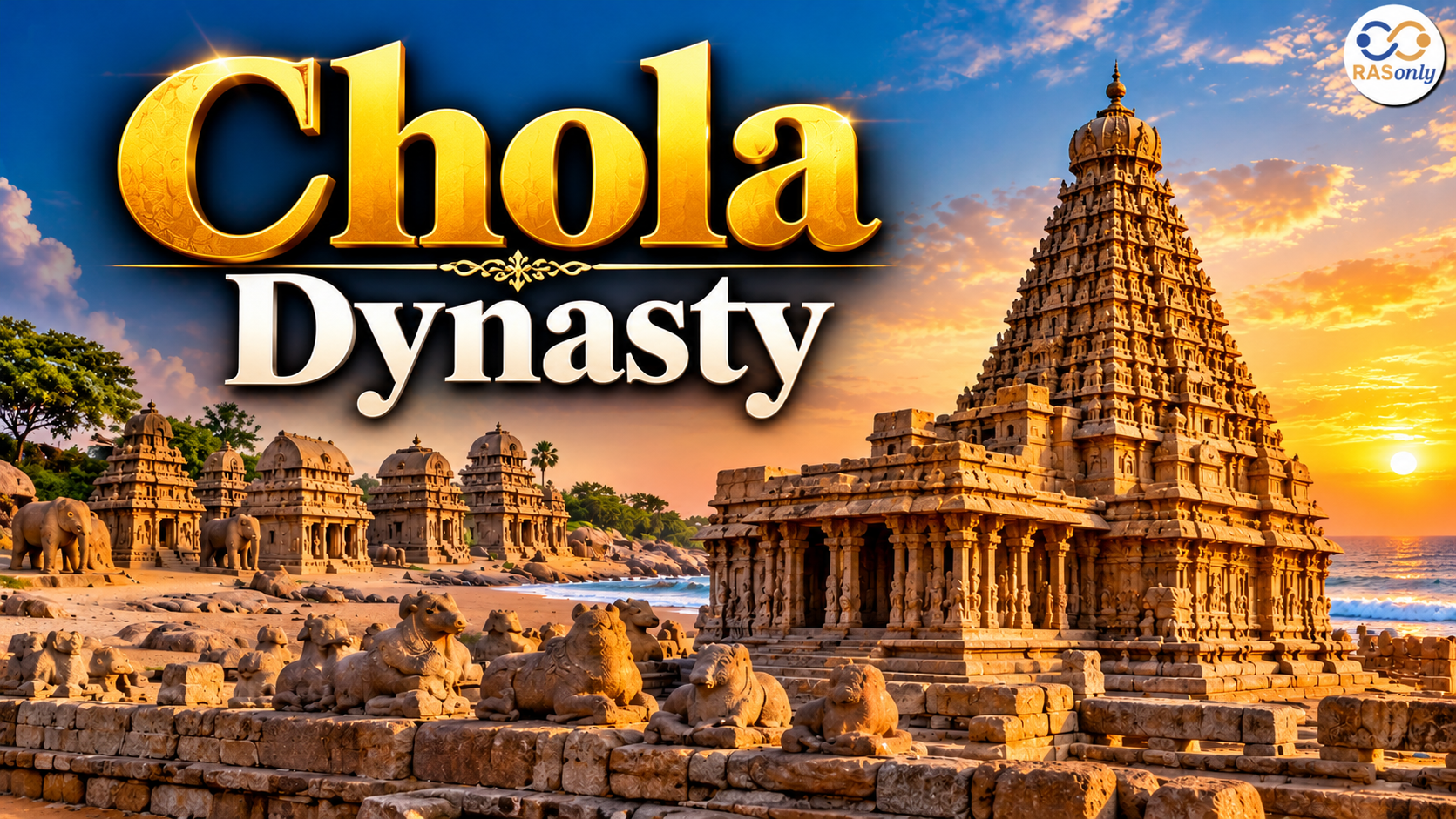
Chola Dynasty: Capital, Founder, Kings, Time Period and History
RAS Geography Notes 2026: Indian & Rajasthan Geography (Complete Guide)

Get in Touch with RASonly!

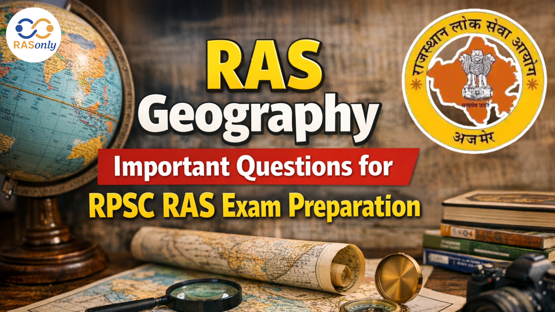
The RAS Geography Important Questions help candidates prepare for the RPSC RAS Exam 2026 by focusing on key topics like Rajasthan geography, rivers, mountains, climate, and irrigation projects. Practicing important questions and MCQs improves conceptual understanding and exam accuracy. A strong grasp of the RAS Geography syllabus and map-based topics is essential for success in the RAS examination.

INDIAN GEOGRAPHY
1. Physical Divisions of India
India is divided into six major physiographic divisions. Understanding this division is the base for almost every other topic in geography, because climate, rivers, soil, and agriculture all follow from it.
| Division | Key Features | Examples |
|---|---|---|
| The Himalayan Mountains | Young fold mountains, world's highest peaks, source of major rivers | Himadri, Himachal, Shiwalik |
| The Northern Plains | Formed by Indus, Ganga, Brahmaputra; most fertile, most densely populated | Punjab Plain, Ganga Plain, Brahmaputra Plain |
| The Peninsular Plateau | Oldest landmass, made of igneous and metamorphic rocks, rich in minerals | Deccan Plateau, Chotanagpur Plateau, Malwa Plateau |
| The Indian Desert | Arid, low rainfall, shifting sand dunes | Thar Desert (mainly Rajasthan) |
| The Coastal Plains | Narrow strips along the sea, divided into Western and Eastern coasts | Konkan, Malabar, Coromandel, Northern Circars |
| The Islands | Coral and volcanic origin | Andaman & Nicobar, Lakshadweep |
Himalayas - three parallel ranges (north to south):
- Himadri (Greater Himalaya): Highest, permanently snow-covered, contains Everest, Kanchenjunga.
- Himachal (Lesser Himalaya): Rugged, includes Pir Panjal, Dhauladhar; famous hill stations located here.
- Shiwalik: Outermost, low hills, valleys called "Duns" (e.g., Dehradun).
2. Drainage System of India
Rivers are grouped into Himalayan rivers (perennial, snow-fed) and Peninsular rivers (seasonal, rain-fed).
| Type | Rivers | Nature |
|---|---|---|
| Himalayan | Indus, Ganga, Brahmaputra and tributaries | Perennial, long courses, large basins, prone to flooding |
| Peninsular | Godavari, Krishna, Kaveri, Mahanadi (east-flowing); Narmada, Tapi (west-flowing) | Seasonal, depend on monsoon, fixed courses in rigid rock beds |
Quick facts often asked:
- Godavari is called the "Dakshin Ganga" because of its length and basin size in the peninsula.
- Narmada and Tapi are the only two large peninsular rivers flowing westward into the Arabian Sea, through a rift valley.
- The Brahmaputra is known as the Tsangpo in Tibet before entering India.
3. Climate of India
India has a monsoon type of climate, controlled mainly by the seasonal reversal of winds.
Seasons in India:
- Cold weather season (winter) - December to February
- Hot weather season (summer) - March to May
- Advancing/South-West Monsoon season - June to September
- Retreating/North-East Monsoon season - October to November
The South-West Monsoon splits into two branches. the Arabian Sea branch and the Bay of Bengal branch - after striking the peninsula, and together they bring most of India's annual rainfall between June and September.
4. Soils of India
| Soil Type | Region Found | Characteristics |
|---|---|---|
| Alluvial | Northern plains, river deltas | Most fertile, rich in potash, suits wheat, rice, sugarcane |
| Black (Regur) | Deccan Plateau (Maharashtra, MP, Gujarat) | Formed from lava, retains moisture, best for cotton |
| Red and Yellow | Eastern and southern plateau edges | Formed from crystalline rocks, low fertility |
| Laterite | High rainfall areas (Western Ghats, parts of NE) | Formed by leaching, suits tea, coffee, cashew |
| Arid/Desert | Rajasthan, parts of Gujarat, Haryana | Sandy, low humus, saline in patches |
| Mountain/Forest | Himalayan region | Varies with altitude, suits tea, spices, fruits |
5. Agriculture
India follows three main cropping seasons:
| Season | Sowing | Harvesting | Major Crops |
|---|---|---|---|
| Kharif | June–July (with monsoon onset) | September–October | Rice, maize, cotton, jowar, bajra, soybean |
| Rabi | October–November | March–April | Wheat, gram, mustard, barley |
| Zaid | March–June (short season, needs irrigation) | Before monsoon | Watermelon, cucumber, moong |
6. Minerals and Industries (Key Points)
- Iron ore is concentrated mainly in the Chotanagpur Plateau region - Odisha, Jharkhand, Chhattisgarh.
- Coal reserves are largely found in the Damodar valley (Jharkhand, West Bengal).
- Rajasthan is India's leading producer of several non-ferrous minerals, which links directly to Part B below.
7. Important Questions - Indian Geography
Q: Which are the three parallel ranges of the Himalayas?
A: Himadri (Greater Himalaya), Himachal (Lesser Himalaya), and Shiwalik.
Q: Why do peninsular rivers not form deltas as large as Himalayan rivers (except Godavari, Krishna, Kaveri)?
A: Because most peninsular rivers flow through hard rocky terrain with lower sediment load and are seasonal, so they carry less silt compared to snow-fed Himalayan rivers.
Q: Name the two branches of the South-West Monsoon.
A: The Arabian Sea branch and the Bay of Bengal branch.
Q: Which soil is best suited for cotton cultivation and why?
A: Black (Regur) soil, because it retains moisture well, which suits cotton's water requirement during the growing period.
Q: What is the difference between Kharif and Rabi crops?
A: Kharif crops are sown with the onset of monsoon (June–July) and harvested in autumn; Rabi crops are sown in winter (October–November) and harvested in spring.
Q: Which plateau in India is the oldest landmass?
A: The Peninsular Plateau, made up of ancient igneous and metamorphic rocks.
PART B - RAJASTHAN GEOGRAPHY
Rajasthan is the largest state of India by area, and its geography is one of the highest-weightage topics in the RAS exam because it overlaps with History, Economy, and Current Affairs sections as well.
1. Location and Extent
| Feature | Detail |
|---|---|
| Area | About 3,42,239 sq km (largest state in India) |
| Latitude | Roughly 23°3'N to 30°12'N |
| Longitude | Roughly 69°30'E to 78°17'E |
| Tropic of Cancer | Passes through southern Rajasthan (near Banswara) |
| Neighbouring States | Punjab, Haryana, Uttar Pradesh, Madhya Pradesh, Gujarat |
| International Border | Shares border with Pakistan (Punjab province of Pakistan) |
| Border Districts with Pakistan | Ganganagar, Bikaner, Jaisalmer, Barmer |
2. Physical Divisions of Rajasthan
Rajasthan is generally divided into four major physical regions, mainly separated by the Aravalli range running diagonally across the state from south-west to north-east.
| Division | Location | Key Features |
|---|---|---|
| Western Sandy Plain (Thar Desert) | West of Aravallis (about 60% of state area) | Arid, sand dunes, low rainfall, includes the Great Indian Desert |
| Aravalli Hill Range | Runs diagonally from Gujarat border to Delhi through Rajasthan | Oldest fold mountains of the world, highest peak Guru Shikhar |
| Eastern Plain | East of Aravallis | Fertile, relatively higher rainfall, includes Banas basin |
| South-Eastern Plateau (Hadoti Plateau) | South-eastern Rajasthan | Part of the Malwa Plateau, black soil, higher rainfall |
Aravalli Range - key facts:
- Considered among the oldest mountain ranges in the world (older than the Himalayas).
- Runs for roughly 550–692 km, from Palanpur (Gujarat) to near Delhi.
- Guru Shikhar (Mount Abu, Sirohi district) is the highest peak in Rajasthan, and also the highest peak of the entire Aravalli range.
- Other notable peaks: Sernagar, Delwara, Achalgarh.
3. Climate of Rajasthan
Rajasthan shows extreme variation in climate - from hot, arid desert conditions in the west to relatively humid conditions in the south-east.
| Region | Rainfall | Temperature Pattern |
|---|---|---|
| Western Rajasthan (Thar) | Very low (below 25 cm annually in extreme west) | Extreme diurnal and annual range, very hot summers, cold winters |
| Eastern Rajasthan | Moderate | Comparatively milder |
| South-eastern Rajasthan (Hadoti) | Highest rainfall in state | Comparatively humid |
Important note: Mount Abu is the only hill station of Rajasthan, and it experiences a distinctly cooler climate than the rest of the state.
4. Drainage System of Rajasthan
Rajasthan's rivers fall into two categories those that flow out of the state (external/exoreic drainage) and those that end within the state, often in salt lakes or the desert itself (internal/endoreic drainage).
| Category | Rivers | Notes |
|---|---|---|
| External Drainage (flow out of state) | Chambal, Banas, Mahi, Sabarmati, Luni (partly) | Chambal is the largest river of Rajasthan by water volume |
| Internal Drainage (do not reach the sea) | Ghaggar, Kantli, Sabi | Mostly seasonal, disappear into the desert |
| Salt Lakes fed by internal drainage | Sambhar (largest salt lake), Didwana, Pachpadra | Important for salt production |
- Chambal is the largest and most important river of Rajasthan, entering from Madhya Pradesh and eventually joining the Yamuna. It hosts major dams, Gandhi Sagar, Rana Pratap Sagar, Jawahar Sagar, and Kota Barrage.
- Luni is the largest river that originates within Rajasthan itself (from the Aravallis near Ajmer/Pushkar) and drains into the Rann of Kutch; its water becomes saline in the lower course, hence the name "Luni" (from "lavani," meaning salty).
- Banas is called the "lifeline of eastern Rajasthan."
5. Soils of Rajasthan
| Soil Type | Region | Suitable Crops |
|---|---|---|
| Desert/Sandy Soil | Western Rajasthan | Bajra, moth, guar |
| Grey-Brown/Sierozem | North-western districts | Barley, gram |
| Alluvial Soil | Eastern plains (Ganganagar via canal, Bharatpur, Alwar) | Wheat, mustard, sugarcane |
| Black Soil | South-eastern Rajasthan (Kota, Bundi, Jhalawar) | Soybean, cotton, wheat |
| Red-Yellow Soil | Southern Rajasthan (Udaipur, parts of Banswara) | Maize, pulses |
6. Forests and Wildlife of Rajasthan
Despite being an arid state overall, Rajasthan has significant protected areas, mostly concentrated in its more humid southern and eastern parts.
| Protected Area | District | Known For |
|---|---|---|
| Ranthambore National Park | Sawai Madhopur | Tigers |
| Sariska Tiger Reserve | Alwar | Tigers |
| Keoladeo National Park | Bharatpur | Bird sanctuary (UNESCO World Heritage Site) |
| Desert National Park | Jaisalmer/Barmer | Great Indian Bustard, desert ecosystem |
| Mukundra Hills Tiger Reserve | Kota | Tigers |
| Sitamata Wildlife Sanctuary | Pratapgarh/Udaipur/Chittorgarh | Flying squirrel |
7. Irrigation Projects of Rajasthan
Given the arid nature of much of the state, irrigation projects are a heavily tested topic.
| Project | Rivers Involved | Area Benefited |
|---|---|---|
| Indira Gandhi Canal (IGNP) | Harike Barrage (Sutlej-Beas) | Ganganagar, Hanumangarh, Bikaner, Jaisalmer, largest canal irrigation project in the state |
| Chambal Project | Chambal River | Kota, Bundi, Sawai Madhopur (dams: Gandhi Sagar, Rana Pratap Sagar, Jawahar Sagar) |
| Bisalpur Project | Banas River | Jaipur, Ajmer, Tonk - major drinking water source |
| Mahi Bajaj Sagar | Mahi River | Banswara, Dungarpur |
| Jakham Project | Jakham River | Pratapgarh |
8. Minerals of Rajasthan
Rajasthan is often called the "Khaniz Bhandar" (mineral storehouse) of India due to the sheer variety of minerals found here.
| Mineral | Leading Districts | Rank in India |
|---|---|---|
| Zinc-Lead | Zawar, Rajpura-Dariba (Udaipur, Bhilwara) | India's top producer |
| Copper | Khetri-Singhana belt (Jhunjhunu) | India's top producer |
| Marble | Makrana, Rajsamand, Udaipur | India's top producer |
| Gypsum | Bikaner, Nagaur, Jaisalmer | India's top producer |
| Rock Phosphate | Udaipur (Jhamarkotra) | India's top producer |
| Wollastonite / Feldspar | Various districts | India's top producer |
| Petroleum/Crude Oil | Barmer (Mangala field) | Significant national reserves |
9. Agriculture in Rajasthan
- Rajasthan is the largest producer of several crops nationally, particularly linked to its arid-zone farming, such as bajra, moth, guar (guar gum), and mustard/rapeseed.
- Coarse cereals (bajra, jowar) dominate the arid west; wheat and mustard dominate the irrigated and eastern belts.
- Rajasthan is also a leading livestock state and holds the largest area under camel and sheep rearing in India, tied closely to its arid geography.
10. Demography (Census 2011 highlights, commonly asked)
| Indicator | Figure |
|---|---|
| Total Population | About 6.86 crore |
| Sex Ratio | 928 females per 1000 males |
| Density | 200 persons per sq km |
| Literacy Rate | About 66.1% |
| Most Populous District (2011) | Jaipur |
| Least Populous District (2011) | Jaisalmer |
| Highest Density District | Jaipur |
| Lowest Density District | Jaisalmer |
(Note: Reconfirm the latest district-level rankings if any state reorganization of districts has happened after 2011, since Rajasthan created new districts in recent years.)
11. Important Questions - Rajasthan Geography
Q: Which is the highest peak of Rajasthan and where is it located?
A: Guru Shikhar, located in the Aravalli range near Mount Abu, Sirohi district.
Q: Which river is known as the largest river of Rajasthan?
A: The Chambal River, based on water volume and basin importance.
Q: Why does the Luni River's water turn saline in its lower course?
A: Because it flows through arid, saline soil tracts before draining into the Rann of Kutch, picking up salts along the way, this is also why it is named "Luni."
Q: Name the only hill station of Rajasthan.
A: Mount Abu, in Sirohi district.
Q: Which national park in Rajasthan is a UNESCO World Heritage Site and famous for birds?
A: Keoladeo National Park, Bharatpur.
Q: Which is the largest irrigation project of Rajasthan?
A: The Indira Gandhi Canal Project (IGNP), sourced from the Harike Barrage on the Sutlej-Beas rivers.
Q: Rajasthan is the top producer of which minerals in India?
A: Zinc-lead ore, copper ore, marble, gypsum, and rock phosphate, among others.
Q: What are the four major physical divisions of Rajasthan?
A: The Western Sandy Plain (Thar Desert), the Aravalli Hill Range, the Eastern Plain, and the South-Eastern Plateau (Hadoti Plateau).
Q: Which is the largest salt lake of Rajasthan?
A: Sambhar Lake, fed by internal drainage rivers such as the Mendha and Roopangarh.
Q: Why is south-eastern Rajasthan (Hadoti region) more fertile than the west?
A: Because it lies on the Malwa Plateau extension with black soil and receives comparatively higher rainfall than the arid western tracts.
Conclusion
Geography is one of the most scoring sections in the RAS exam because, unlike history or polity, most of its answers follow a logical "cause and effect" pattern rather than pure memorisation. Once you understand why the Aravallis created two distinct climatic zones in Rajasthan, or why the Chambal was chosen for a chain of dams, the related facts fall into place naturally. Focus equally on Indian Geography basics and Rajasthan-specific details, since RAS papers frequently link the two, for instance, asking how Rajasthan's soil and drainage patterns compare with national trends. Revise the tables regularly, attempt previous year questions, and always connect a fact to its underlying reason rather than rote-learning it in isolation.
FAQs
Yes. Geography carries significant weightage in RAS Prelims (General Studies Paper) and also appears in Mains, especially Rajasthan Geography, which overlaps with the state's history and economy.
Indian Geography covers pan-India topics like physical divisions, monsoon, and river systems, while Rajasthan Geography focuses on the state's specific physical features, drainage, minerals, irrigation projects, and demography - both are tested separately and together.
Guru Shikhar, located in the Aravalli range near Mount Abu in Sirohi district, is the highest peak in Rajasthan.
The Chambal River is considered the most important river of Rajasthan due to its water volume and the major dams built on it, while the Banas River is called the lifeline of eastern Rajasthan.
The Indira Gandhi Canal Project (IGNP), Chambal Project, Bisalpur Project, and Mahi Bajaj Sagar are the major irrigation projects covered in RAS Geography.
Zinc-lead, copper, marble, gypsum, and rock phosphate, Rajasthan is India's top producer in several of these.
Focus on physical divisions, drainage systems, minerals, and irrigation projects with maps, and always link facts to reasons (e.g., why a region has a particular soil type) rather than memorising isolated data.
Yes, they remain the base reference for demography questions, though candidates should verify updates related to Rajasthan's newly created districts.

BEST SELLER
🏆 PRELIMS
RAS Pass
Prelims focused Hindi & English
₹399
✓
Prelims Topic-Wise Tests
✓
Subject-Wise Tests
✓
Full-Length Prelims Tests
✓
Daily Current Affairs Tests
✓
Prelims PYQs Tests
✓
Detailed Solutions & Analysis
✓
All Rajasthan Ranking
✓
Unlimited Reattempts
✓
Mains Tests
✓
Hindi & English Tests
✓
All Rajasthan Ranking
Trusted by 5,000+ Students

Post Category
- RAS Salary
- Result
- RAS Admit Card
- RAS Job
- RAS Cutoff
- Preparation Tips
- RAS Answer Key
- RAS Exam Analysis
- RAS Syllabus
- RAS Previous Year Papers
- RPSC RAS Exam Pattern
- RAS Interview
- RAS Exam Date
- RAS Vacancy
- RAS Test Series
- RAS Best Books
- RAS Preparation Resources
- RAS Coaching Centre
- History
- Polity
- Geography
- Economics
- Science
- Art and Culture
- RPSC RAS Application Form
- RPSC RAS Notification
- RAS Eligibility Criteria
- UPSC Exam
- RPSC RAS Mains
Visit Our RASonly Offline Center
Our Expert Faculty

Bhunesh Sir
Current Affairs · 13+ Yrs

Aamir Khan Sir
RAS-2017 · IIM Ahm.

Akash Sir
Polity · 8+ Yrs
Free Resources
Official Mobile App

RASOnly App
by OTSAdda · Free
Full Video Lectures
Mock Tests & PYQs
Daily Current Affairs
AI Mock Interview
Free Download · No subscription needed to install
RAS 2024 Toppers — RASonly
Rank 2
Virendra Charan
Rank 9
Bhoopinder Singh
Rank 26
Aanchal Nagpal
Rank 33
Lokendra Singh
Rank 45
Amar Rathore
Rank 46
Manasvini Verma

Join RASonly WhatsApp Community
Get daily current affairs, exam alerts, free study material and tips from expert faculty — right on WhatsApp.
Join for Free →RASonly Interview Guidance Program

Mr. Ashok Jain
Ex-Chief Secretary Govt of Rajasthan
- IAS officer of the 1981 batch, Rajasthan cadre.
- Passionate about mentoring the next generation of RAS officers with real-world insights.
- Got retired in Dec 2017 from the post of Chief Secretary of the state of Rajasthan.

Mr. Guru Charan Rai
Ex-ASP / SP in Jaisalmer
- Guru Charan Rai, IPS (Retd), retired as Inspector General of Police (Security), Rajasthan, Jaipur in 2017.
- Served as ASP and SP in Jaisalmer, Nagaur, Sri Ganganagar, Sawai Madhopur, Dausa, Sikar, and Karauli.
- He also held key positions as DIGP and IGP in the Law and Order division.

Mr. Rakesh Verma
Ex-IAS Officer, B.Tech, MBA, and M.A. (Economics)
- IAS officer of the 1981 batch and retired in Chief Secretary Rank.
- Civil servant of high repute and vast experience.
- Has been teaching UPSC CSE subjects for the last six years.
Related Post

Daily Current Affairs for RAS Exam Preparation 2026
Rajasthan’s First Sitaphal Processing Unit in Chittorgarh
October 19, 2026
Rajasthan Foundation Expansion New Chapters Announced
October 19, 2026
Continuous Biomass Torrefaction Reactor
October 17, 2026